


-
Recently Browsing 0 members
- No registered users viewing this page.
-
Latest Activity
-
-
By Ayrshire Chris · Posted
One problem could be that many of the hospitality packages are already sold out. Unless you’ve a media contact, media organisations normally get a hospitality allocation. -
-
 I agree on WA taking a year off in 2027. But if they got the call from R&L could see them having a similar August to what Fontaines are doing now. A few random shows + 2/3 other festivals. The festival/LN does seem to love them as well so there is a chance they take a punt. I did see about Rodrigo potentially doing a stadium in Poland but no clue if that would be 2027 or 2028, I just can't see her at the Fest at all, seems too big in current climate. If I were to guess the headliners next year I'd go with Fred Again/Foos/Capaldi/Olivia Dean/Biffy or Wolf Alice/Some Rapper, Tems?
 -
 Ulitimately the “Top 6” or top 2 on a day by day basis work as a collective You could easily have Foo Fighters and someone else much weaker on a single day As long as they add up to 3, whether they’re a 2 and 1 or both 1.5s it doesn’t really matter The Florence- Chase and status day is basically a 1.5 and 1, hence it selling the weakest
-
-
Latest Festival News
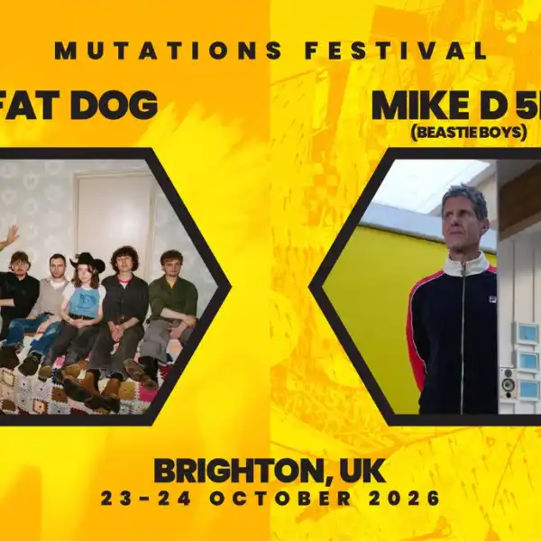 Brighton Mutations Festival 2026 announces Fat Dog & Mike D 5D (Beastie Boys) as first headliners
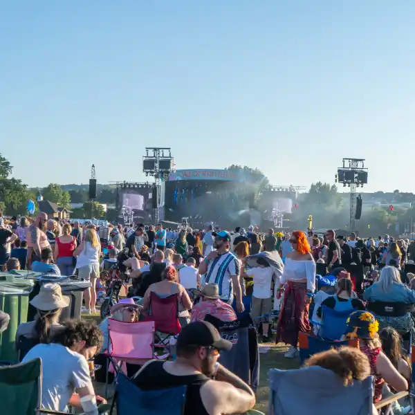 Early Bird Tickets For IOW 2027 Now On Sale
 Radio 2 in the Park announces line-up as tickets go on sale
 Glastonbury Alternatives: 20+ Festivals for Summer 2026
 Simple Things announce first wave of line-up
 -
Featured Products
-
Hot Topics
-
-
Latest Tourdates


Recommended Posts