


-
Recently Browsing 0 members
- No registered users viewing this page.
-
Latest Activity
-

By JimMacVeigh · Posted
Two of the bloodstock headliners for 2027 have never played bloodstock before so only one can play. -

-

-
By NorthernSoul52 · Posted
Me who said that. Swear it was in the press release but I could be wrong. -
 Just watched Annie Lennox at Wilderness Festival as part of her global feminist The Circle initiative. She curated the 2 hour slot with special guests including Jessie Ware and then did a 1/2 hour slot singing her and Eurythmics hits at the end. Her voice is amazing still and I am convinced she would do an amazing set on Sunday afternoon. She even wore a jacket with a sparkling CND symbol on the back! It’s a sign!!
-
-
Latest Festival News
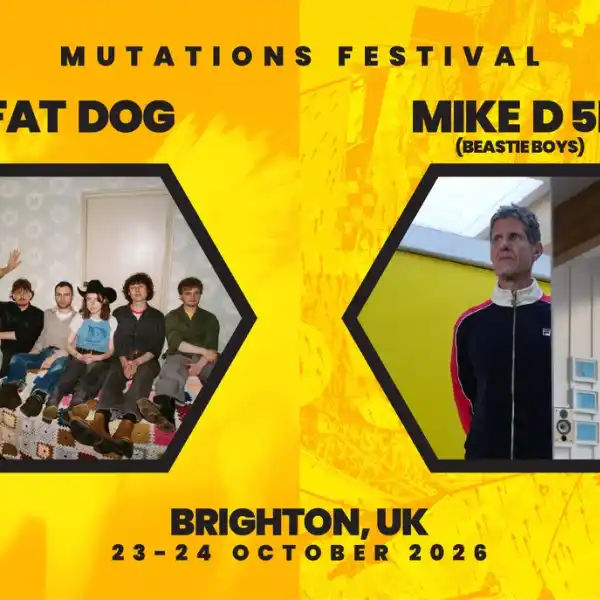 Brighton Mutations Festival 2026 announces Fat Dog & Mike D 5D (Beastie Boys) as first headliners
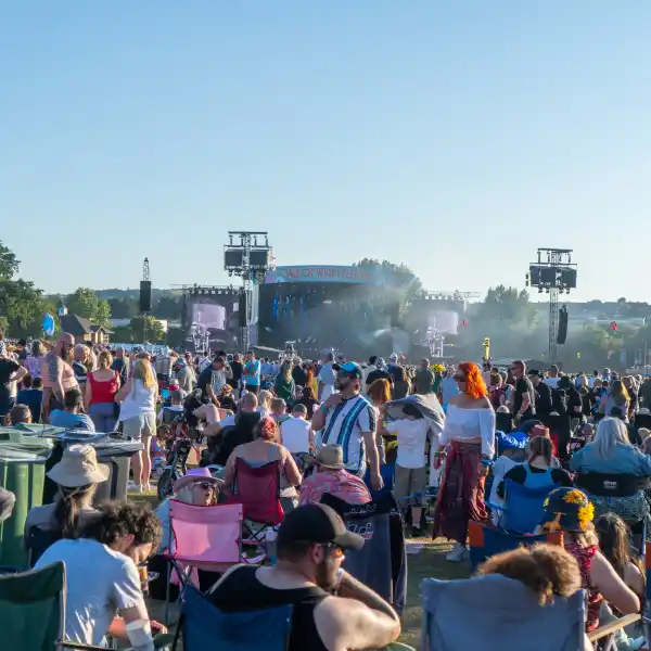 Early Bird Tickets For IOW 2027 Now On Sale
 Radio 2 in the Park announces line-up as tickets go on sale
 Glastonbury Alternatives: 20+ Festivals for Summer 2026
 Simple Things announce first wave of line-up
 -
Featured Products
-
Hot Topics
-
-
Latest Tourdates


Recommended Posts